Specialist high-precision and geodetic surveying expertise and technologies providing accuracy over large areas and or complex project sites alike. Have confidence throughout your project, whatever your survey or control network requirements.

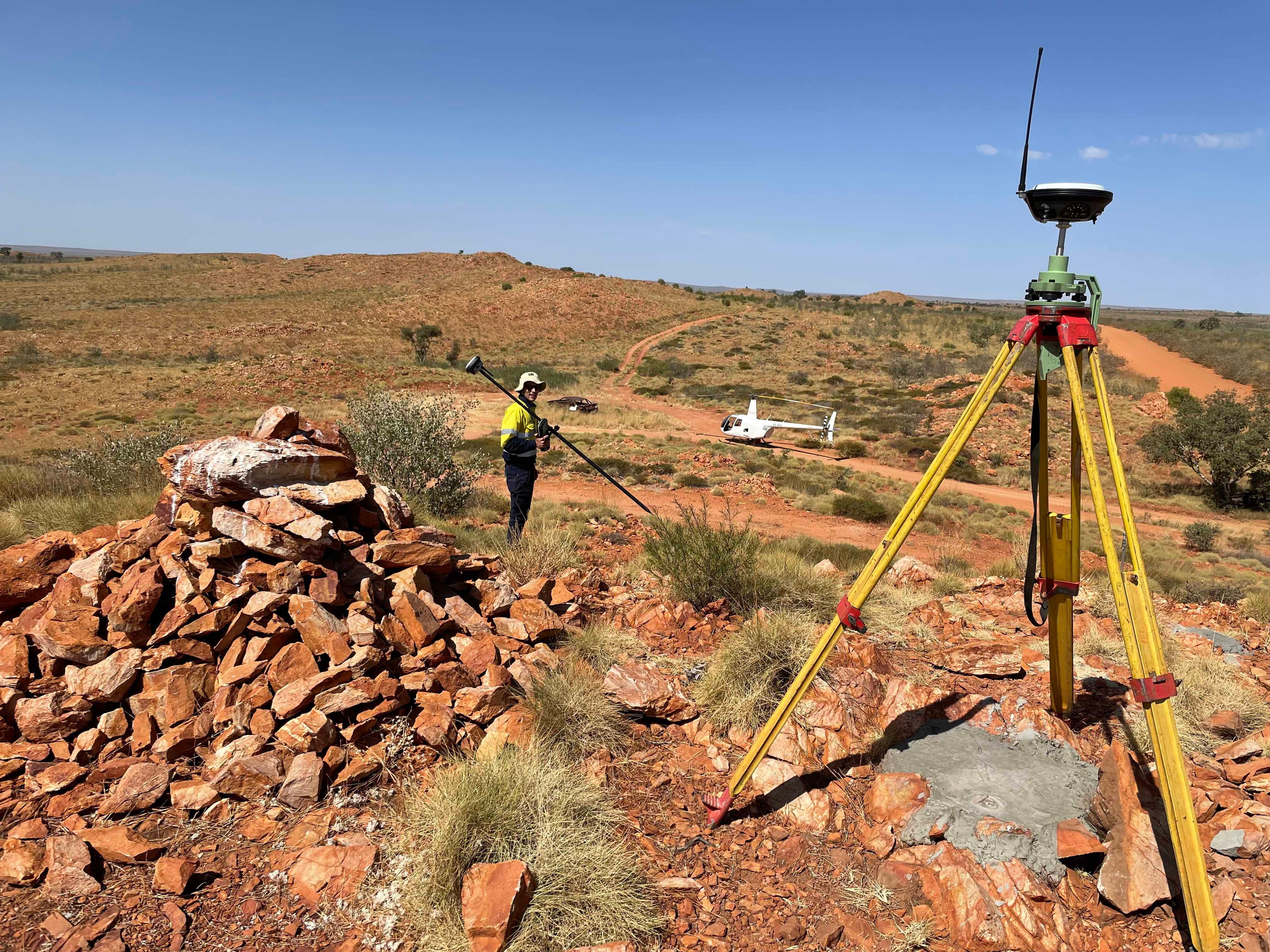
Proven geodetic surveying capabilities.
Ensure the integrity of your project’s survey, specifications and mapping data.
Consult our geodetic and control surveying specialists on how to establish your control network with complete accuracy. From GNSS positioning to the technicalities of geodetic datums and adjustments, from innovative remote monitoring solutions to complex as-constructed surveys, we’ll provide the advice, solutions and precision you need.

We provide custom solutions for complex geodetic problems.
Specialised projects through complex structures require ultra-high-precision spatial measurements to create exceedingly detailed 3D models.
Whether you need to model existing structures for detailed engineering design, or set out precision points for new infrastructure, we’ve got you covered.
Right-first-time precision surveying solutions.
Learn more about our experience and market-leading capabilities in this specialist area. Contact our specialised surveying team.
