With extensive experience across specialist GIS capabilities, our team of experts will help you unlock the power of spatial data.


Tailored Spatial Solutions for Smarter Decisions
Our GIS Consulting team delivers professional, industry-leading spatial solutions and support services tailored to the unique needs of clients across land development, environmental management, public sector, mining and beyond.
We help organisations harness the power of spatial data—offering services that span detailed analysis and visualisation to software solutions and integrated support.
What sets us apart is our commitment to innovation. We stay at the forefront of GIS technology, applying best practices to solve complex challenges and deliver data-driven insights that empower confident, efficient decision-making.
Our GIS Services
We tailor our GIS consulting services to meet the specific requirements of every project. Key capabilities include:
- Data Collection: Acquisition of geospatial data from satellite imagery, aerial photography, surveys, and third-party datasets.
- Spatial Analysis: Spatial and aspatial modelling using GIS software to reveal patterns, trends, and relationships.
- Database Integration: Integration of spatial data into ERP systems for enhanced decision-making and operational efficiency.
- Mapping & Visualisation: High-quality maps, web-based visualisations, 3D models, and thematic maps that communicate insights effectively.
- Data Conversion & Digitising: Coordinate transformations, vector layer creation, and format conversions.
- Geocoding & Georeferencing: Location mapping, address-based analysis, and projection services for both raster and vector data.
- Project Management: Full project oversight including scoping, delivery, resource allocation, and quality assurance.
- GIS Strategy & Planning: Strategic advisory on system architecture, metadata, data governance, and scalability.
- Compliance Support: Assistance with regulatory spatial data standards and asset data compliance (e.g. A-Spec).
- Spatial Database Design: Implementation of enterprise-grade spatial databases (e.g. PostgreSQL/PostGIS, MS SQL Server).


Land Information Services
Our GIS-based Land Information services support efficient planning and development by providing accurate, up-to-date spatial insights that reduce risk and cost. We help developers, utilities, and government stakeholders make informed decisions through:
- Site Selection & Constraint Analysis: Identifying optimal development sites by analysing zoning, land ownership, environmental overlays, accessibility, and infrastructure availability.
- Feasibility Studies: Evaluating project viability based on environmental, economic, and regulatory conditions.
- Parcel & Property Mapping: Detailed mapping for survey, sales, and planning, including pre-calculation plans.
- Asset Infrastructure Management: Spatial analysis and layer creation for integration into Asset and Facilities Management systems.
- Data Capture: Collecting and processing spatial and survey data using advanced technology to support planning and design workflows.
Explore our Digital GIS solutions.
Our GIS services are backed by a suite of powerful digital tools. Explore our Digital Solutions to learn more about:
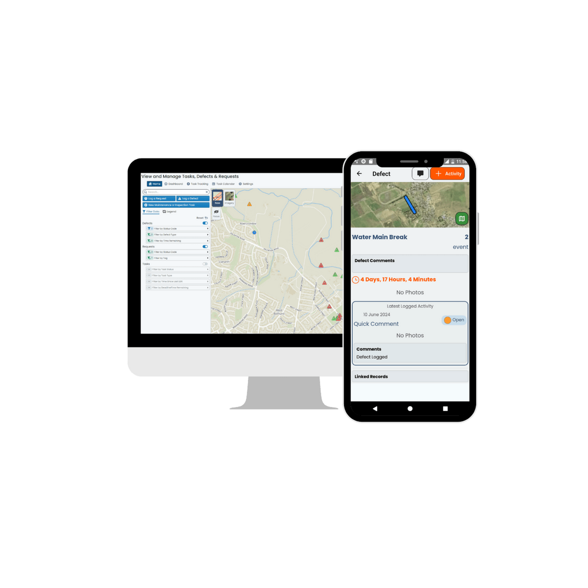
- Pozi: A self-service mapping platform that connects users to real-time property and asset data
- MNG Access: Cloud-based access to spatial and land parcel data for planning and development
- Metrix Assets: An enterprise asset management system designed to support infrastructure maintenance and lifecycle planning
These tools complement our consulting services, delivering scalable and integrated solutions for clients looking to digitise and streamline their operations.
Learn more about our GIS services.
Contact our GIS specialists to find out how MNG can support your next project with spatial intelligence and digital expertise.
