Drone-captured details. GIS-informed accuracy. At MNG, our GIS mapping specialists turn your development survey data into visually appealing estate plans, infrastructure plans, and street directories. We provide print-ready or web-based visualisations for your sales and marketing teams, giving them valuable insights that guide the next stage.
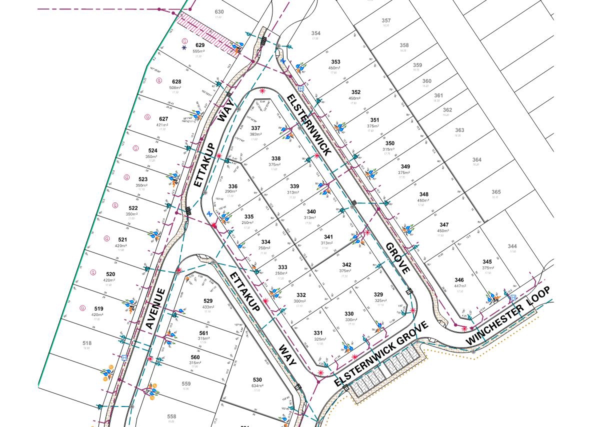

Personalised Geospatial Mapping & Visuals.
Our team of cartographers and computer programmers provides personalised project visualisation content and spatial data analytics for integration with existing client sales and marketing activities.
We leverage our advanced drone surveying, topographic mapping, and geospatial technology to find rich data points specific to your development area. Our CASA-compliant drones capture hundreds of hectares per day, and GNSS sensors position each capture with precision. This data is transferred through ortho-mosaics, creating the 3D mapping visuals that detail the next move.

Precise Topographic Data to Guide Your Next Move.
A site plan is only as good as the ground it’s measured against. Our topographic and geospatial mapping data gives you an accurate read of contours, levels and existing features before a single design decision gets made.
That accuracy carries through. Into the estate plan your sales team presents, the infrastructure plan your builder works from, the 3D visualisation your buyer walks through before it’s built. One dataset informing every stage that follows.
GIS Mapping Models We Create.
- Estate plans and street directories
- Sales plans
- Individual lot infrastructure plans
- Individual builders’ lot infrastructure plans
- Promotional marketing material
- Specialty maps
- 3D visualisation for estate developments

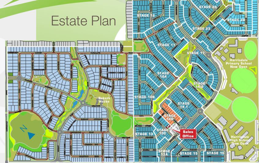
Mapping visuals with unrivalled attention to detail.
However your team needs to visualise the data, we provide a range of options fit for your application:
- Website integration of sales and lot plans
- Short and long print runs
- Data conversion
How can our cartographic team help you?
Our team of highly skilled cartographic experts is here to provide personalised cartography tailored to your project requirements. Talk to a GIS mapping specialist today.
