Building Information Modelling (BIM) allows digital collaboration for the Architectural Engineering Construction (AEC) market. Our BIM and scan-to-BIM services provide more than a point cloud. We supply intuitive 3D modelling and digital twins with unparalleled accuracy, intelligence and certainty.

Any building.
Every detail.
Our market-leading LiDAR, BIM and scan-to-BIM experience extends beyond creating simple CAD building models.
By combining aerial, terrestrial, mobile and subsurface scans and datasets, our BIM services convert precise LiDAR point clouds into fully intelligent BIM models. This allows our BIM, Revit and parametric modelling consultants to give you the rich, intelligent, precise 3D modelling and digital-twin spatial content you need. The right format and detail. The right specifications, parameters and metadata.

What Is BIM?
Building Information Modelling (BIM) is the holistic process of creating and managing information for a built asset across its entire lifecycle. These services bring coordination to every discipline, architect, engineer, contractor and asset manager into a single intelligent model containing geometry, specifications, materials, costs and asset data. Where traditional construction relied on fragmented 2D drawings and disconnected teams, BIM produces a coordinated digital representation of the built asset from planning and design through to construction and operations.
Why Companies Need BIM Services?
Design conflicts between structural, architectural and services elements are identified, coordinated, and resolved digitally before reaching the site, eliminating costly rework and keeping projects on schedule. As construction completes, the verified as-built model carries forward into operations, giving building owners and facilities managers a reliable foundation for asset management long after handover.
BIM consulting. New builds. Scan-to-BIM on existing assets. MNG gives the accuracy, coordination and intelligence that AEC projects demand.

SMART Services.
Our proprietary Spatial Modelling and Analysis using Real-time Technologies (SMART) underpins our BIM services.
It’s the key to combining our multidisciplinary aerial, terrestrial, mobile and subsurface surveying and laser scanning capabilities into a single, time-saving and cost-effective scan-to-BIM and 3D modelling solution.
High accuracy.
High definition.
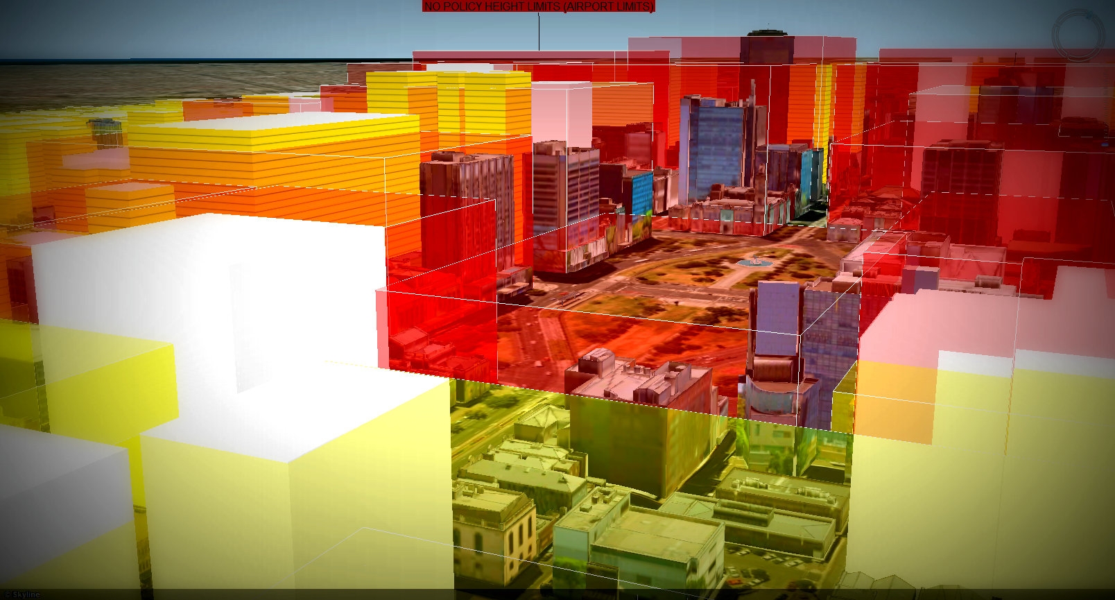
Similarly, our digital twin models provide even more detail and peace of mind for the Architectural Engineering Construction (AEC) market.
A digital twin of the real world enables you to minimise or eliminate costly errors and delays at every stage of your project, from concept to completion.


3D BIM Visualisation Solutions.
- Laser scanning
- Subsurface scanning and modelling
- Mobile mapping (HALO-II)
- 3D modelling and visualisations
- Virtual reality
- Augmented reality
The BIM Modelling Process.
- Project Initiation and BIM Strategy: Software platforms, levels of detail and responsibilities are agreed upfront in a BIM Execution Plan, ensuring every stakeholder works from the same framework from day one.
- Standards and Environment Setup: A Common Data Environment (CDE) is configured as the single shared platform for all model files, documents and project data, forming the foundation for accurate BIM coordination across all disciplines.
- Model Creation and Authoring: Our BIM modelling specialists build intelligent, parametric 3D models using Revit and scan to BIM workflows, with every model element carrying the geometry, specifications and metadata your project requires.
- Coordination and Clash Detection: Discipline models are federated into a single coordinated environment where automated clash detection identifies conflicts before they reach site, eliminating costly rework.
- As-Built Modelling and Handover: The BIM model is updated on completion to reflect what was actually built and handed over as the verified record of your building.
- Asset Management: Equipment specifications, maintenance schedules and asset data carry forward into facilities management, giving owners a reliable foundation for managing their assets throughout their operational life.

Learn more about our BIM services.
Find out how our state-of-the-art BIM modelling services can impact your project. Allow our consultants to help you coordinate your project in infinitely richer detail. Get expert advice by contacting MNG today.
