Innovative hydrographic surveying technology that accurately determines water body depth and underlying topographies. The experienced surveyors at MNG deliver accurate details on and below the seafloor with bathymetric, seismic, and marine geophysics expertise.


Clarity.
Speed.
Assurance.
Marine construction projects face a range of potential challenges. Sediment builds up in shipping channels. Coastlines shift. Underwater infrastructure ages out of sight. Marine construction and dredging can’t be safely planned without knowing exactly what lies below the waterline.
MNG’s hydrographic surveyors operate across Australia’s rivers, harbours, estuaries and coastal waters, delivering the precise underwater data your project needs to move forward with confidence. Monitoring waterways, developing marine infrastructure and conducting environmental studies. Our specialist hydrographic surveyors have you covered.

What Are Hydrographic Surveys?
Hydrographic surveys are undertaken to create detailed charts of water bodies (oceans, seas, coastal areas) by mapping physical features such as depth, seafloor topography, and predictive changes. These surveys also provide valuable information about debris or objects on the seabed or buried below the surface, as well as sediment layer thickness.
How Do Hydrographic Surveys Work?
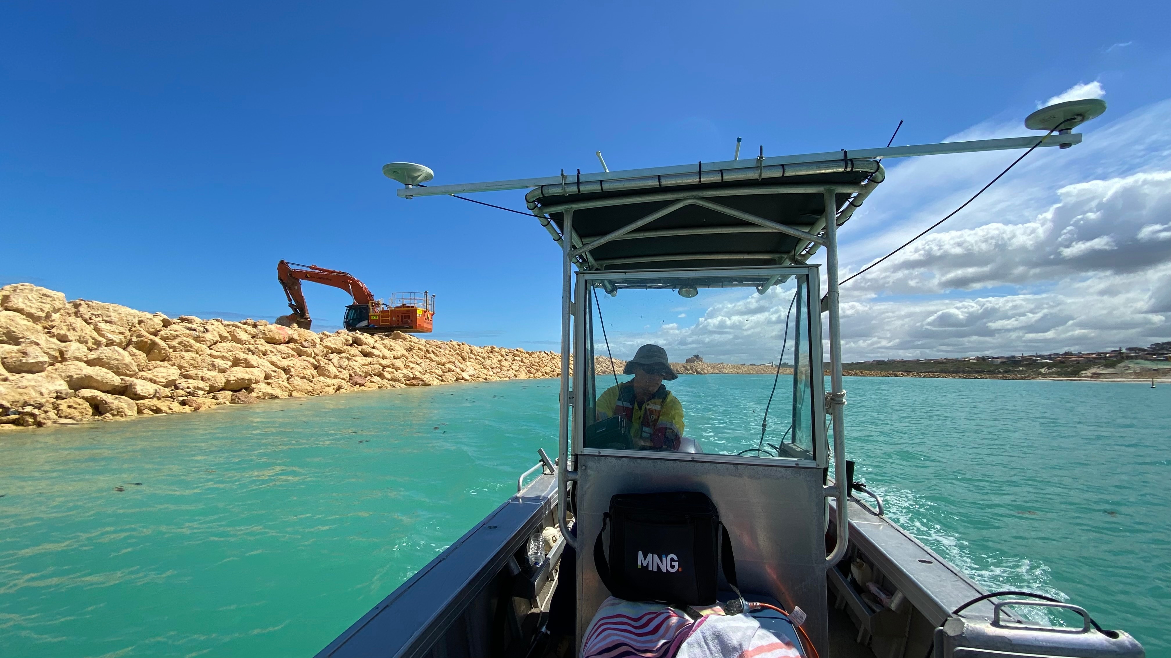
MNG’s hydrographic surveyors use certified vessels to measure water depth and map underwater terrain across the full survey area.
Here’s the general hydrographic surveying process we carry out:
- Sound pulses travel to the seabed, reflect back to the vessel and calculate precise depth readings based on travel time
- Sub-bottom profilers penetrate the seabed to reveal sediment layers and sub-surface composition
- Side scan sonar produces acoustic images of the seabed surface to identify features, debris and habitat type
- Sound speed sensors and tide gauges correct for water conditions and tidal variation, ensuring all readings are accurate and referenced to a consistent datum


How MNG Addresses Marine Challenges with Hydrographic Surveying.
We are known for our industry-leading technology. Project planning, data acquisition, processing and reporting, our hydrographic surveying does it all. Our surveying systems include:
- Multibeam Echo Sounders (MBES): Full seabed coverage in a single pass, producing complete bathymetric models and digital terrain models for navigation assessment and under-keel clearance
- Single-Beam Echo Sounders (SBES): Precise depth profiling along survey lines, suited to rivers, canals and confined water bodies
- Side Scan Sonar: Acoustic imaging of the seabed surface to identify features, debris, objects and seabed habitat type
- Sub-Bottom Profilers: Penetrate below the seabed to reveal sediment layers, composition and sub-structure for geophysical analysis from 0 to 10 metres below the seafloor
- Attitude and Heading Reference Systems (AHRS): Compensate for vessel movement in open water, maintaining measurement accuracy regardless of sea conditions
- Tide Gauges: Record tidal variation throughout the survey so all depth readings are corrected to a consistent datum
- Sound Speed Sensors: Account for changes in water temperature, salinity and pressure to ensure echo sounder accuracy at depth
- Real-Time Data Acquisition Systems: Live processing and quality control of survey data in the field, reducing turnaround time from survey to deliverable
Our Hydrographic Surveying Expertise.
With our expertise, we provide a range of proven hydrographic surveying services including:
- Harbour maintenance
- River, estuary and sea wall surveys
- Debris and clearance surveys
- Coastal vulnerability mapping
- Coastal hazard identification
- Beach and canal profiling
- Dredging and engineering surveys
- Shallow marine geophysics
- Aquaculture planning

Safety is paramount.
Our purpose-built vessels are Australian Maritime Safety Association certified and operated by qualified coxswains. We’re ISO 9001, ISO 14001 and ISO 45001 accredited. However, we look to continually improve our safety policies.
So, whatever the hydrographic challenge, you can rest assured your survey is in the best hands.
See What’s Possible with Proven Hydrographic Surveying.
Learn more about our advanced hydrographic, bathymetric and seismic survey capabilities. Our team is here to help you create the charts specifically required for your project. Speak with one of our hydrographic specialists today.