Access high-definition geophysics, insights, subsurface mapping and 3D modelling you need to make better planning and engineering decisions and mitigate, or even eliminate, unplanned remediation risks and costs.

The experience and technology you need.
Proven, high-definition subsurface mapping and modelling. MNG SubSpatial specialises in the application of applied geophysical techniques to image a variety of complexities hidden beneath the surface.
Focusing on the land development market, MNG SubSpatial can tailor a cost-effective geophysical solution to provide enhanced subsurface information to support better design and decision making to minimise excavation and constructions risks. Talk to our experienced Geophysicists for more information.

Cost effective, valuable insight.
We provide detailed subsurface modelling for land development and risk assessment.
Greenfield – Geotechnical
- 2D and 3D representation of subsurface rock models / layers
- Assessment of material strength, compaction, rippability and weathered zones
- Overlying material thickness and volume
- Identification of isolated features such as fractured zones, boulder floaters, and karst formations (cavities)
- Geotechnical engineering parameters, such as Shear and Young’s modulus
Brownfield – Environmental
- Delineation of uncontrolled fill, buried waste, landfill extents
- Location of buried remnant infrastructure, footings, underground storage tanks
- Mapping of soil contaminants (chemical plumes, saline groundwater)
Delivering real results.
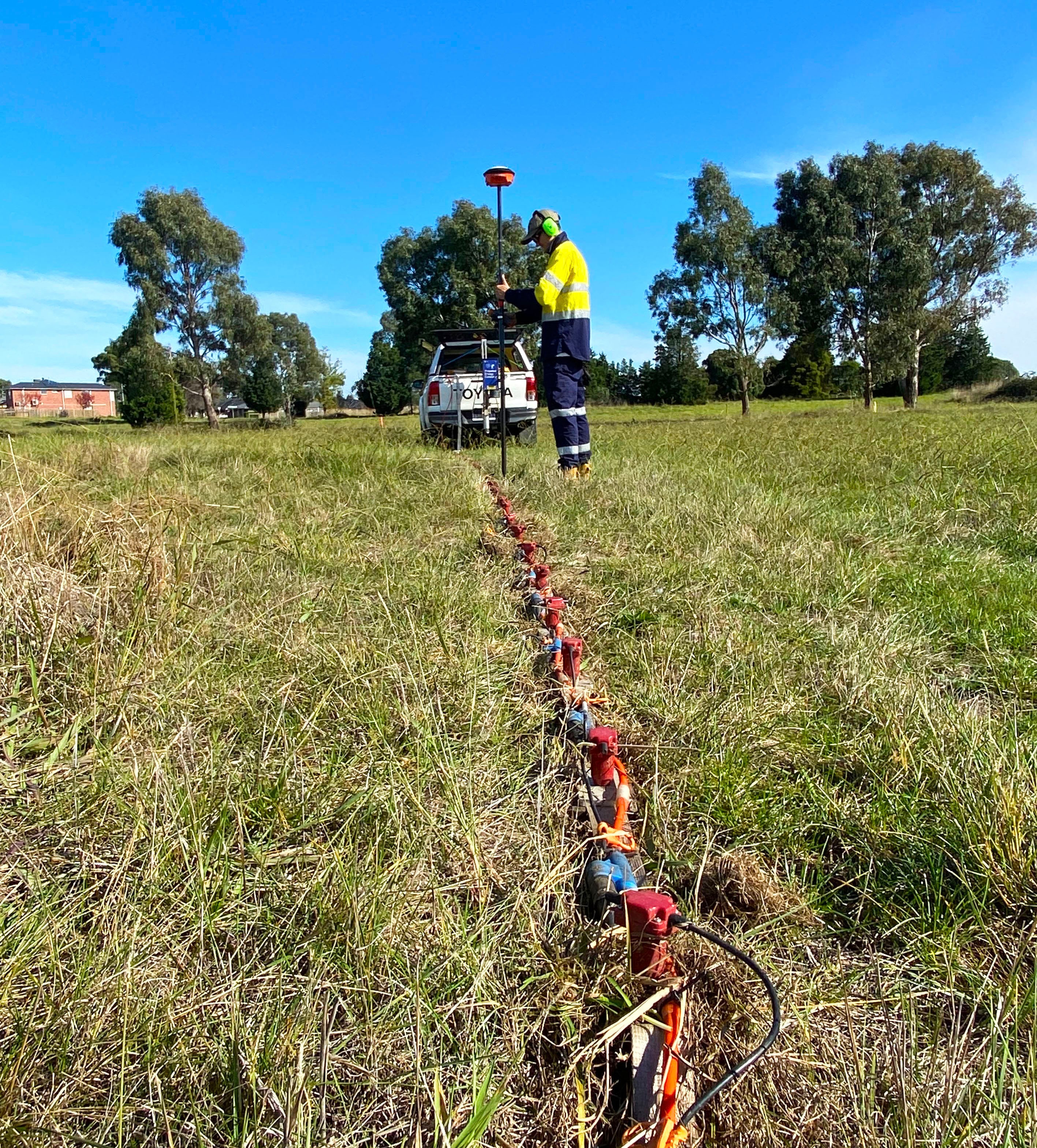
MNG SubSpatial offers a variety of geophysical techniques to investigate the subsurface that involve seismic, electrical and radar waves.
Seismic Techniques
- Multi-channel Analysis of Surface Waves (MASW)
- Seismic Refraction (SR)
- Passive Seismic (ReMi, HVSR)
Electrical Techniques
- Electrical Resistivity Tomography / Imaging (ERT/ERI)
- Vertical Electrical Sounding (VES)
- Frequency-domain Electro-Magnetics (FEM)
Radar Techniques
- Ground Penetrating Radar (GPR)


Rock mapping solutions.
For land development projects, our detailed rock mapping and subsurface modelling will provide you with valuable insights into rock depth and condition.
Working in partnership with traditional intrusive geotechnical methods, our geophysical techniques can connect the dots between boreholes that generate 2D geological cross-sections of the subsurface. When combined, these 2D cross-sections create a full 3D subsurface model of the bedrock.
Our comprehensive site classification packages are an essential tool for the investigatory stage of any land development project. Reducing site uncertainty, unforeseen earthwork costs and financial risk.
Consult our geophysics and subsurface mapping experts.
Stop worrying about the risks you can’t see. Start making better, more informed planning, engineering and strategic decisions about your project.