Engineering Surveying, Laser Scanning (LiDAR)
Developing local skills to deliver a safe all-weather road
PROJECT: Broome to Cape Leveque Road upgrade | Kimberley, WA
CLIENT: Main Roads Western Australia
PROJECT BACKGROUND
Cape Leveque is at the northern most part of the Dampier Peninsula, in the Kimberley region of Western Australia, north of Broome.
Sparsely populated, the Dampier Peninsula is home to a number of Aboriginal communities including Beagle Bay, Bobiedin, Djarindjin, Ardyaloon (One Arm Point), Ngardalargin and Lombadina.
CHALLENGES
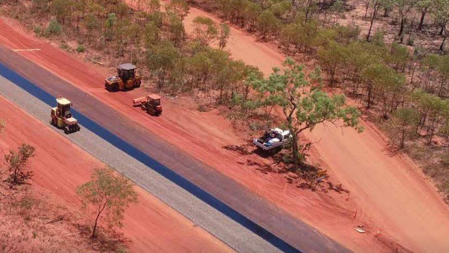
The 200km Broome Cape Leveque Road is the main transport link through the Dampier Peninsula and provides access to these communities. The unsealed section of the road was susceptible to flooding, forcing it to be closed during wet season and isolating communities. Improvements were needed to provide road users with safe, all-weather access.
As part of the $65million project (funded by the Australian and Western Australian Governments under the Northern Australian Roads Program), a 90km upgrade to Broome Cape Leveque Road was required to create an all-weather, 8m wide sealed highway.
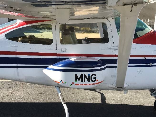
Main Roads Western Australia (MRWA) initially engaged MNG to supply detailed survey information for the design phase of the project, then extended scope to include support for the bulk earthworks construction phase.
SOLUTIONS
MNG utilised Stratus-1, a highly accurate, low elevation Airborne Laser Scanning (ALS) system to capture detailed survey information and high resolution imagery along the length of the Broome Cape Leveque Road.
The team produced a Digital Elevation Model (DEM) and true rectified orthomosiac map for the MRWA design team. Ground control survey points were established along the length of the upgrade section to validate the ALS and provide ongoing survey control for the project.
Following the successful delivery of the survey information for the design phase, MNG was engaged as the Project Surveyor responsible for the bulk earthworks construction phase. A requirement of the construction phase of the project was to determine the quantities of material used in the road bases.
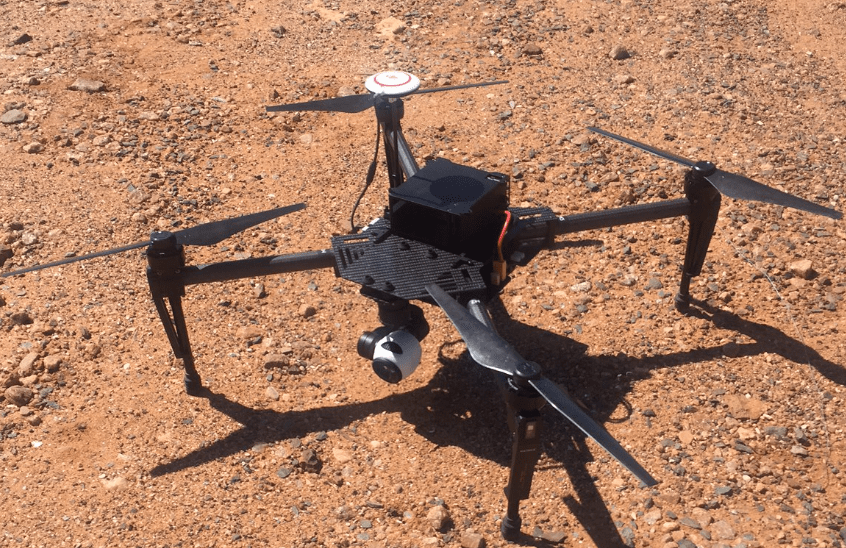
MNG opted to use its DJI Phantom4 drone to undertake surveys of the road base stockpiles. Audit surveys of the stockpiles were conducted monthly and the results proved highly accurate.
The drone provided a safe working environment for the MNG survey team, as they did not need to directly access the tall cone shaped stockpiles of crushed road base material.
OUTCOMES
The final digital ground survey model was a combination of manually surveyed features and automated ALS ground mesh.
MNG provided MRWA with a point cloud (derived from photogrammetry), model key point ground surface, orthomosaic aerial imagery and various reports. This integration of ALS to develop a single homogenous point cloud was a key benefit to the client.
A focus of the project was to employ local Aboriginal people to build a skills base and work collaboratively with local business and training organisations. This would ensure local people were provided opportunities to have input and be involved in the project.
As a local business in Broome, MNG has long been committed to engaging local personnel to provide project support in roles such as construction pegging, volumes and managing grade control systems. The Broome Cape Leveque Road upgrade provided another great opportunity to employ local people for local projects.
The project was a great success. The Broome Cape Leveque Road upgrade provided road users with all-weather access and a safer commute. This benefitted the local community and the increasing number of tourists who visit the region.