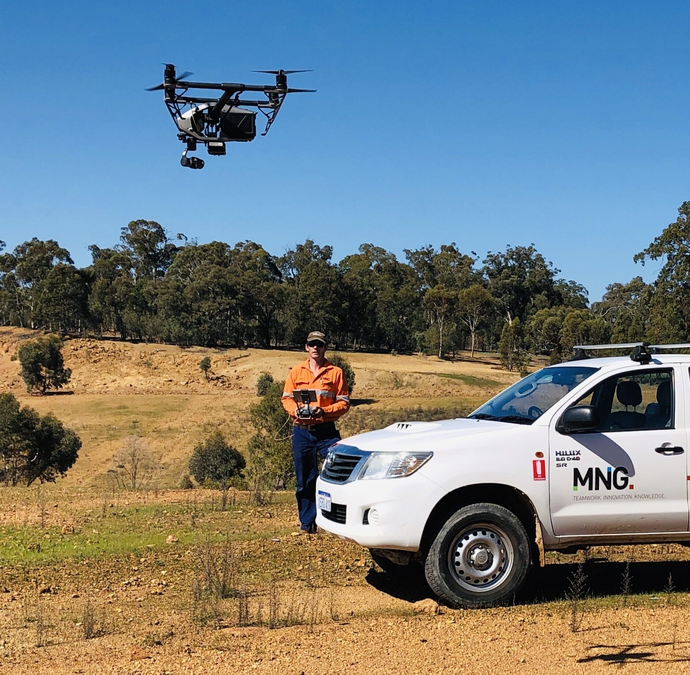
We’ve got market-leading remote sensing tech and CASA-certified systems, as well as systems for light aircraft, drones and helicopters ready for deployment across Australia. You’ll get the high-density, high-accuracy aerial surveying solutions you need.

Raising the density and accuracy bar.
Keeping your aerial survey cost down.
Every aerial survey project is unique, so before we schedule a flight, be it drone or crewed aircraft, we’ll discuss your specific requirements and desired outcomes. Then, we’ll recommend the most cost-effective way to fulfil them, bringing together the right tools and talent to give you the data, imagery, 3D topographic mapping, photogrammetry, 3D visualisations and models you need.
Quality.
Speed.
Accuracy.
Our aerial laser scanners can survey hundreds of hectares per day. Every feature above and on the ground, captured safely and discreetly.
At the same time, we can capture oblique or overhead imagery which, combined with the high-density, high-accuracy LiDAR points, forms the basis of ortho-mosaics and 3D visualisation solutions.
A clearer view of your project.
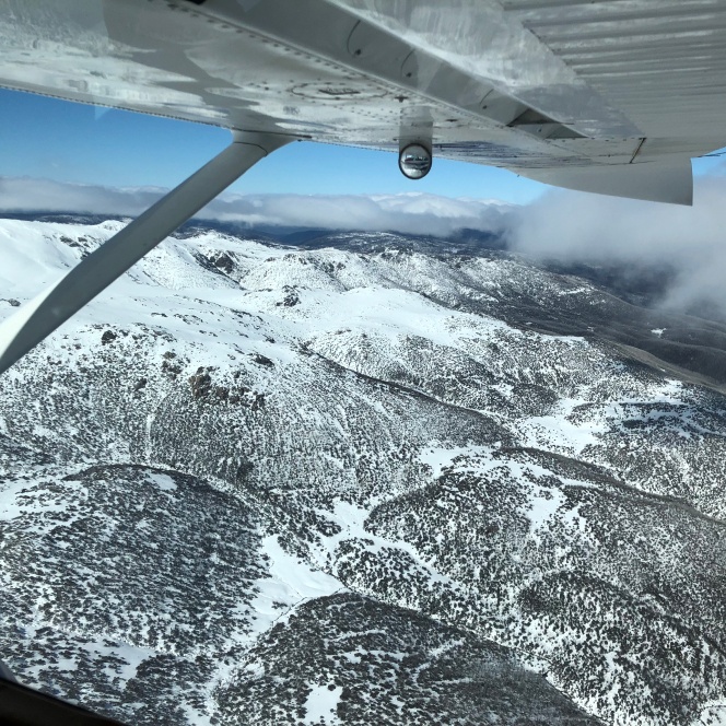
Our aircraft systems provide cost-effective aerial imagery and LiDAR solutions.
Creating the best 3D mapping and visualisations for your project.
Our drones or Uncrewed Aerial Vehicles (UAV), or Remotely Piloted Aircraft Systems (RPAS), are all CASA compliant, with qualified pilots. Equipped with high-resolution imagery sensors, GNSS positioning sensors and intelligent orientation controls, our systems open up a host of remote sensing and mapping options.


Innovative technology.
Expert surveyors.
Whether you need a 100m2 or a 1,000km2 survey, our LiDAR is the most advanced and accurate available with applications across a host of industries and sectors.
- Environmental impact and monitoring studies
- Land development and construction projects
- Civil engineering and infrastructure projects
- Remote mine-site audits and inspections
Are we CASA-compliant?
Absolutely.
We adhere to the Civil Aviation Safety Authority’s regulations and highest standards.
Our drone and aircraft pilots have a wealth of aerial survey planning and piloting experience. From remote locations to built-up areas to restricted airspaces, we’ve worked in – and above – practically any environment you care to mention.

See what’s possible with our aerial survey experts.
Learn more about our advanced UAV drones, remote sensing tech and Australia-wide aerial LiDAR capabilities.
