Immerse yourself in the spaces, buildings and environments you’re creating. Engage stakeholders more effectively. And make smarter decisions, faster, with high-accuracy laser scanning, visualisation, 3D models and insights.


The right data.
Visualised the right way.
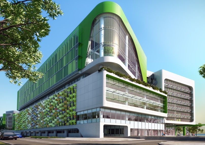
Whether you’re designing a residential building, constructing a commercial precinct, engineering an industrial plant, managing a facility or refurbishing a heritage site, you need more than a point cloud. You need to see, navigate and experience the spaces and buildings you’re working on. And fast. This is where our specialised SMART BIM and GIS solutions give you a value-adding technical and commercial advantage.
We capture reality.
Internal and external. The big picture and fine details. Above and below ground. We enable you to visualise, plan, design and build your world with laser-sharp focus.
From our rapid High Accuracy LiDAR Optimiser and Interlaced Imagery (HALO-II) mobile mapper, providing 360° panoramic imagery, to our digital twin modelling, we capture more than the point data you need. We capture reality.
Make every decision with confidence.
And without endless site visits.
3D model the existing conditions. Conduct virtual inspections. Track construction progress. Monitor changing environments. Record and recreate heritage features.
We’ll put all the interactive data you require and intuitive 2D and 3D visualisations and virtual reality at your fingertips. All in the format you need. Always saving time, reducing costs and eliminating risks.
- Digital Twin
- 3D reality models
- Revit modelling
- Feature extraction

Tell us about the data and visualisation you need.
Learn more about our built-environment surveying, laser-scanning, mapping and 3D visualisation expertise and specialised tech.
