Read about our experience providing rapid, accurate data and value-adding insights across the exploration, construction and production lifecycle. From feasibility to system maintenance to rehabilitation. From planning to ongoing decision-making.

Highly accurate.
Highly mobile.
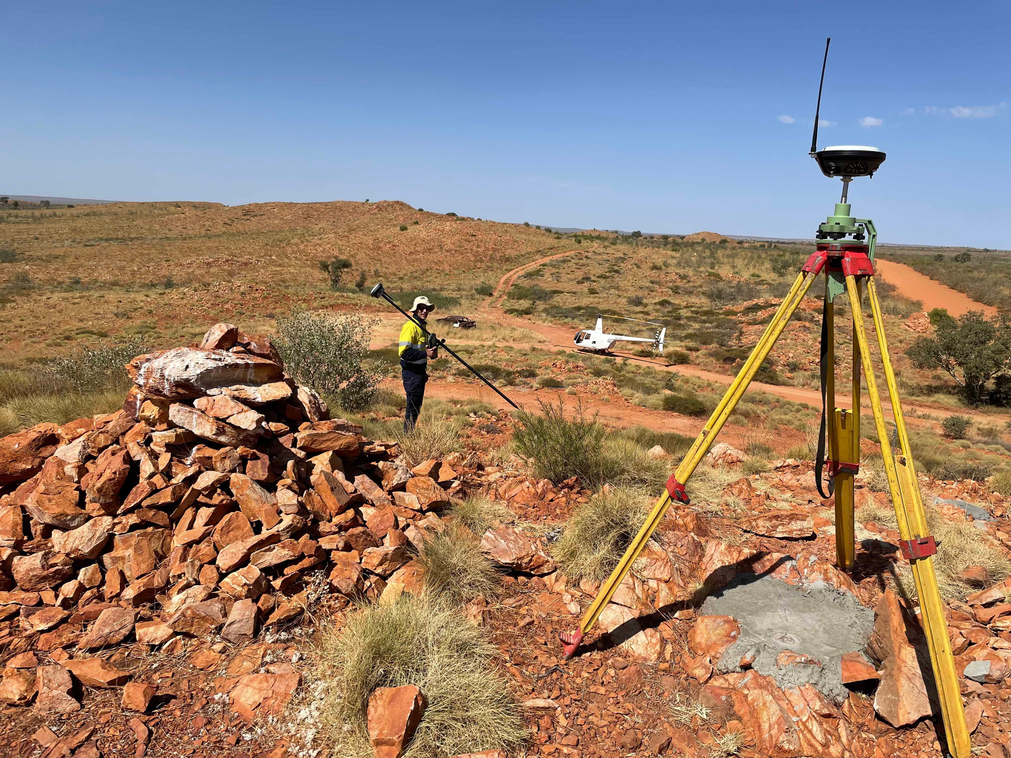
One look at our portfolio of resources, renewables, mining, oil and gas projects will tell you we understand the unique demands of your industry and have the rapid-mobilisation capabilities to prove it. Whether we’re supporting exploration, construction, production, upgrades or time-critical shutdowns, we deploy the right teams with the right tools to achieve the smartest surveying solution. Whenever and wherever you need them.
Maximise the value of your project.
To make smart decisions and maximise your project’s ROI, you need accurate spatial information at every stage of your project’s lifecycle.
We understand. And because we have such broad experience, we’re able to hit the ground running and deliver the high-quality data and insights you need, fast. No unnecessary costs or delays.
We’re the ‘spatialists’ you need.
From entire mine-site mapping and geospatial scanning solutions to urgent, ad-hoc engineering surveys or geophysical investigations.
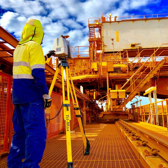
Armed with the most advanced technologies, including the latest laser scanning and aerial LiDAR systems, you can rely on complete accuracy. From the ground. From the air.

Concept and design.
- Aerial surveying and mapping
- Topographical and feature surveys
- 3D modelling and visualisations
- As-built verifications
Construction.
- Civil and structural setout
- Dimensional control
- Monitoring and audits
- Survey control networks
Operations and maintenance.
- Conveyor and structural alignments
- Plant infrastructure and maintenance
- Structural deformations and monitoring
Extract maximum value from your resources.
Whatever the project, be it an existing oil and gas project that you’re looking to optimise or an emerging mineral mining or renewable energy project, find out how our experienced team can help you maximise your ROI.
