News
MNG: Investing in the future of Mobile Laser Scanning technology
19th October 2020
Australia’s leading innovator in Mobile Laser Scanning (MLS) technology, Western Australian based survey and spatial information firm MNG, continue their stronghold as market leader with the investment in a new MLS system, with delivery due in November 2020.
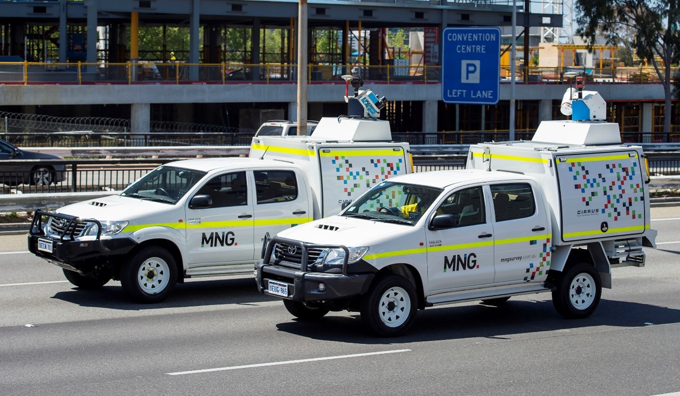
The new Riegl VMX-2HA dual scanner, complementing MNG’s existing fleet of scanning systems, is a high speed, high performance mapping system that is ideal for surveys with demanding specifications. The revolutionary technology produces dense, accurate and feature-rich data and includes multiple camera systems for precisely georeferenced images. This further enables the system to capture detailed and reliable data for pavement analysis and crack indexing.
MLS systems have already assisted MNG to provide real-world solutions for clients across Australia on many freeways, railways, bridges, tunnels, waterways, and delivering benefits to clients and their projects. As the new Riegl VMX-2HA system is highly portable it will empower MNG to provide expanded services to the transportation and infrastructure markets throughout the nation.
Safety is paramount within the business and MLS technology permits surveyors to avoid working directly on roads and in dangerous environments, and almost eliminates the need for roads to be closed for survey work. Thus providing a safer working environment for all users, and minimising traffic disruption.
MNG Chief Executive Officer/Managing Director Mr Scott Anderson said the significant investment in technology, particularly during these uncertain times, was another demonstration of MNG’s commitment to providing a superior service to clients specification needs.
He added, “With a determination to remain at the forefront of mobile laser scanning technology in Australia, investing in people and innovation remains a key pillar of our overall growth strategy.”
MNG provides a complete spectrum of surveying and spatial solutions, including land development surveys, cadastral surveys, strata titles, resources and infrastructure surveys, 3D terrestrial and mobile laser scanning, aerial imagery and LiDAR, subsurface utility mapping, hydrographic surveys, cartographic services, advanced subsurface investigations, and geographic information systems (GIS).