Geophysics
Educational Facility Development
PROJECT: Educational Facility Development
CLIENT: Confidential
THE SITE
An established school close to the Melbourne metropolitan was due to commence a major redevelopment on its existing campus.
Early works package included services diversion, building demolition and soil remediation to enable the construction of the new facility.
THE CHALLENGE
A preliminary site investigation identified the presence of contaminated soil to category D classification.
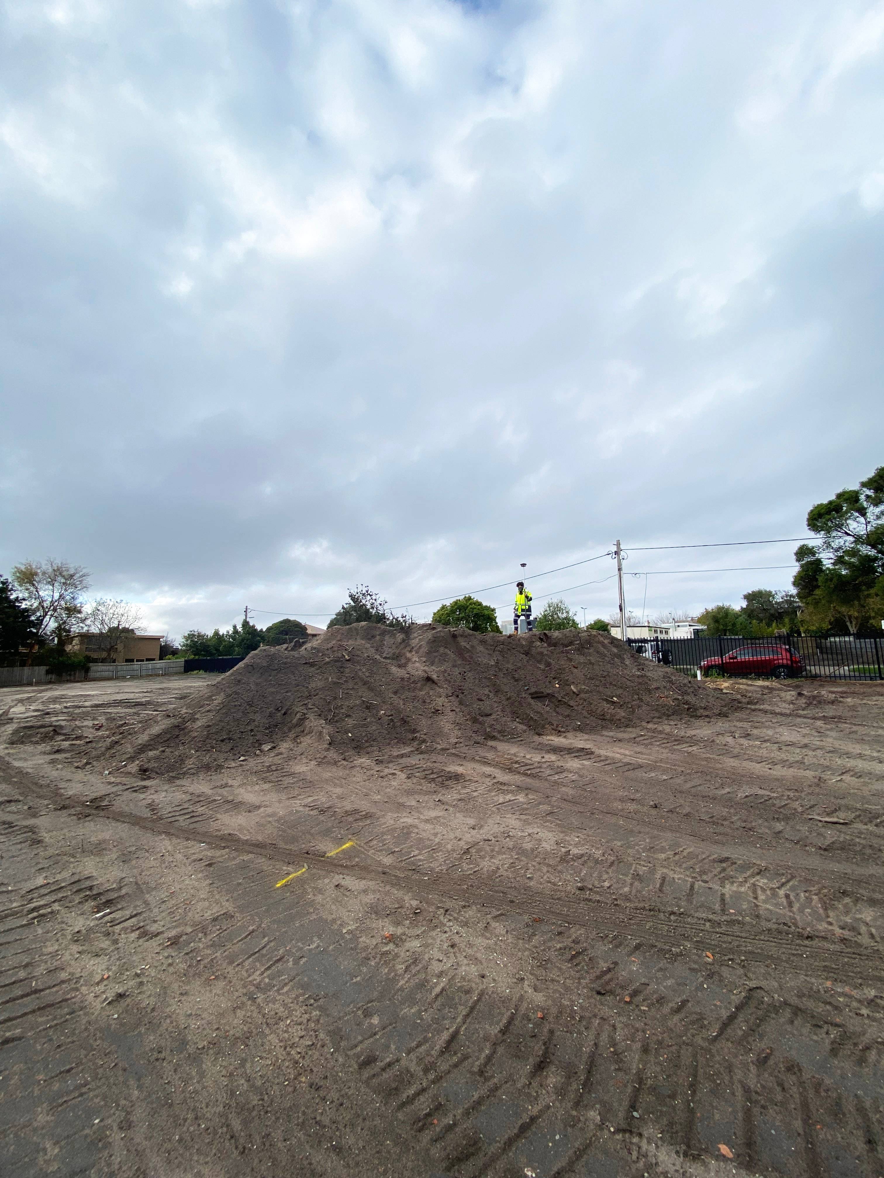
A site scrap was undertaken to remove the top 200mm of contaminated spoil for disposal. The client required an estimation of the likely extent of imported fill remaining on site for budgeting purposes, prior to commencing second stage fill disposal.
THE SOLUTION
Given the variable nature of the material, MNG SubSpatial proposed a set of Multi-channel Analysis of Surface Waves (MASW) survey lines be run in parallel transects across the site to determine the lateral extent and depth of the uncontrolled fill.
Using an array of 4.5Hz geophones, as the seismic energy pulse is applied the geophones are then used to record the profile along the transect to approximately five metres below ground level.
The survey captured data along four parallel geophysical profiles over a 10×4 metre grid, providing an accurate analysis of soil density properties within the construction area.
MNG SubSpatial ensured no large machinery was in operation whilst conducting the geophysical investigation so there was no interference to the seismic data being measured.
As the uncontrolled fill is a different composition and density to the original material it is possible to determine the areas, and then compute the volume of the material.
The ground level topography was surveyed using GPS, or more correctly these days using the Global Navigation Satellite System (GNSS). At the conclusion of both the geophysical and topographical surveys the data was collated to compute the volume of uncontrolled fill.
Two small mullock heaps that had been stockpiled on the site were also flagged as uncontrolled fill and added to the results of the survey.
THE OUTCOME
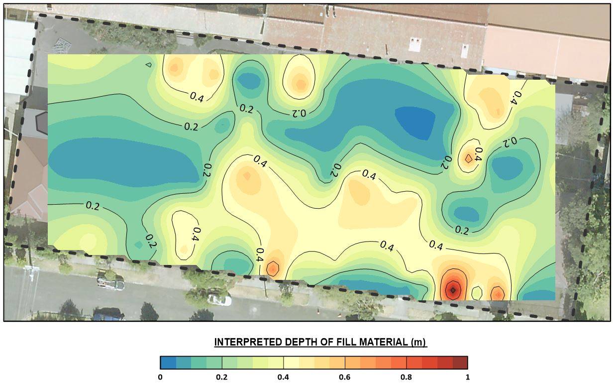
Data collected from the MASW survey was used to create a 3D subsurface model of the area, which illustrated the contoured thickness of the fill material.
Using this information in conjunction with the topographic survey, MNG SubSpatial was able to accurately calculate the exact volume and location of imported fill throughout the site.