Aerial Surveying, Laser Scanning (LiDAR)
Malleefowl Mound Detection
PROJECT: Aerial survey for Malleefowl mound detection
CLIENT: Anditi Pty Ltd
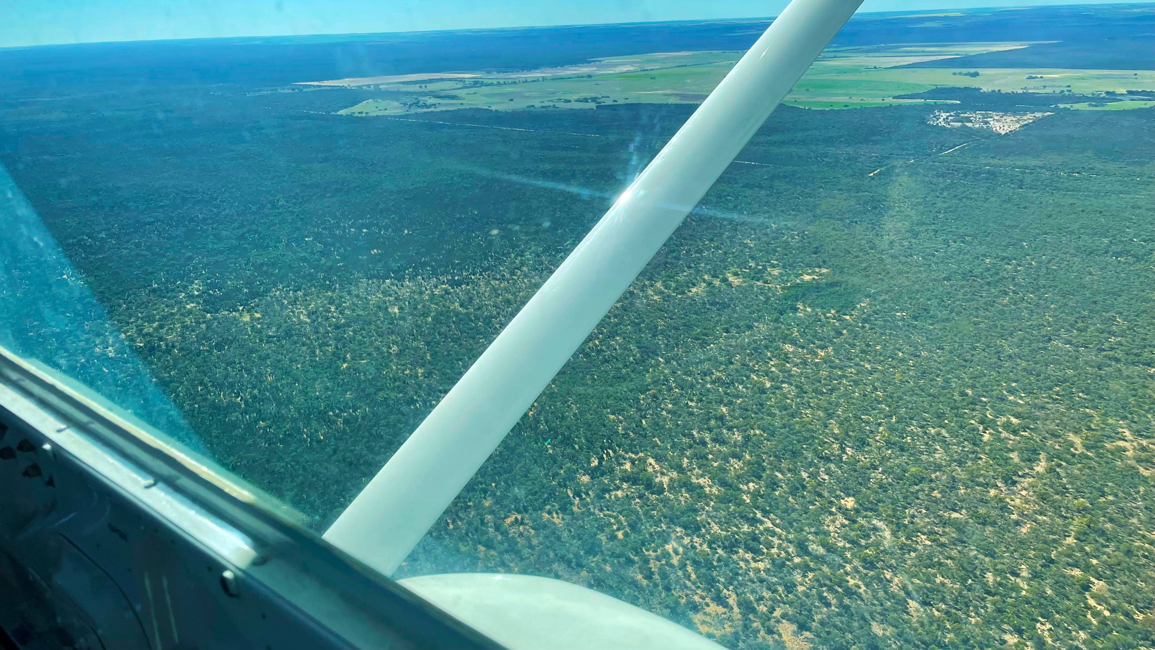
THE SITE
The Malleefowl (Leipoa ocellate) is a ground dwelling bird known as a megapode, most known for its large nesting mounds. Native to the semi-arid areas of Australia, the Malleefowl are generally found in woodlands and shrublands composed of eucalypt and acacia species. Forming a crater in a mound of leaf litter and soil, the Malleefowl nest can be up to four metres in diametre and a metre in height.
Recent years have seen a significant decline in Malleefowl populations, and as such the species are now listed nationally as vulnerable, under the Environment Protection and Biodiversity Conservation Act 1999 (EPBC Act). The loss of habitat is considered the biggest threat, through either the clearing of land for agricultural purposes or stock grazing on their food source. Predatory species such as the introduced fox are a contributing factor in their decline, as too is the result of fire which can have a significant impact over a long period of time.
A National Recovery Plan was introduced in 2007 to support the recovery of this threatened species. Working alongside various conservationist bodies throughout Australia, Anditi have been instrumental in providing data to assist in detecting and recording active mounds throughout their know habitat.
THE CHALLENGE
Accurately mapping the malleefowl habitat is an essential element in monitoring population numbers, to ensure their ongoing survival. As Malleefowl’s tend to traverse over great distances it can be difficult for researchers to accurately locate individual birds. Detecting nesting mounds is considered by ecologists to be a more reliable measure.
Traditional land-based surveys are labour intensive, expensive and time consuming. Given that the semi-arid conditions in which the species inhabits is typically hot and isolated, safety is also a major concern. These remote locations also pose a logistical challenge, with transportation, fuel and adequate food and water supplies an essential, and at times costly, consideration.
Although the use of aerial imagery (photogrammetry) alone can be effective, it can be somewhat problematic due to shadows or thick vegetation causing difficulties in detection. It also relies on favourable weather and atmospheric conditions to be able to accurately capture the mounds
THE SOLUTION
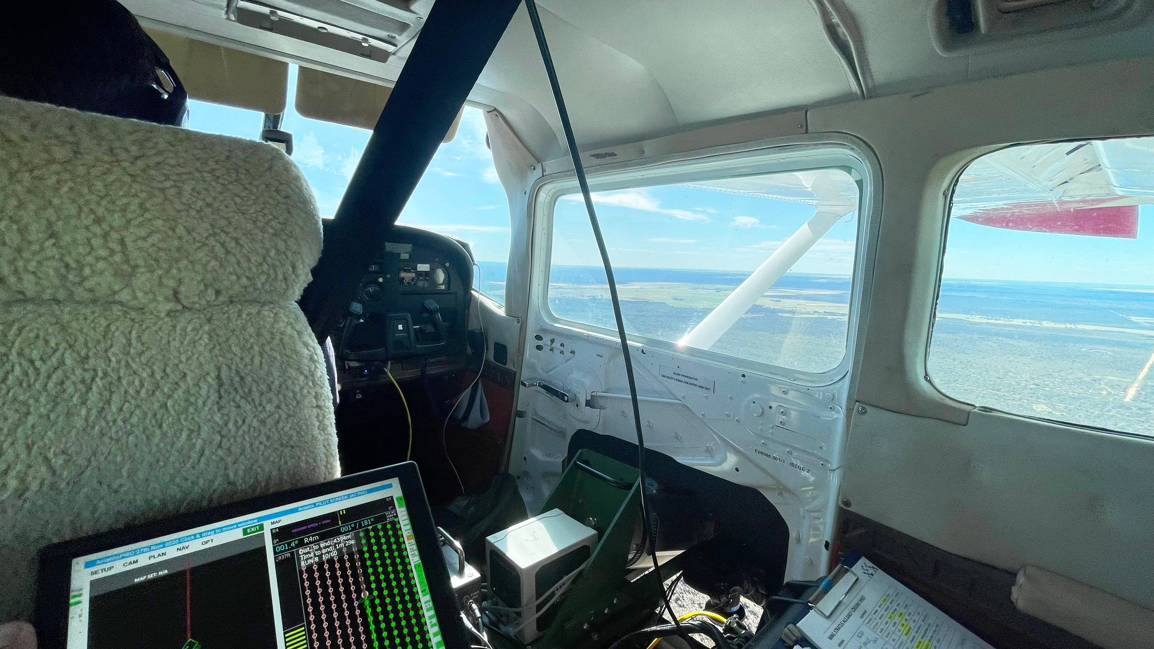
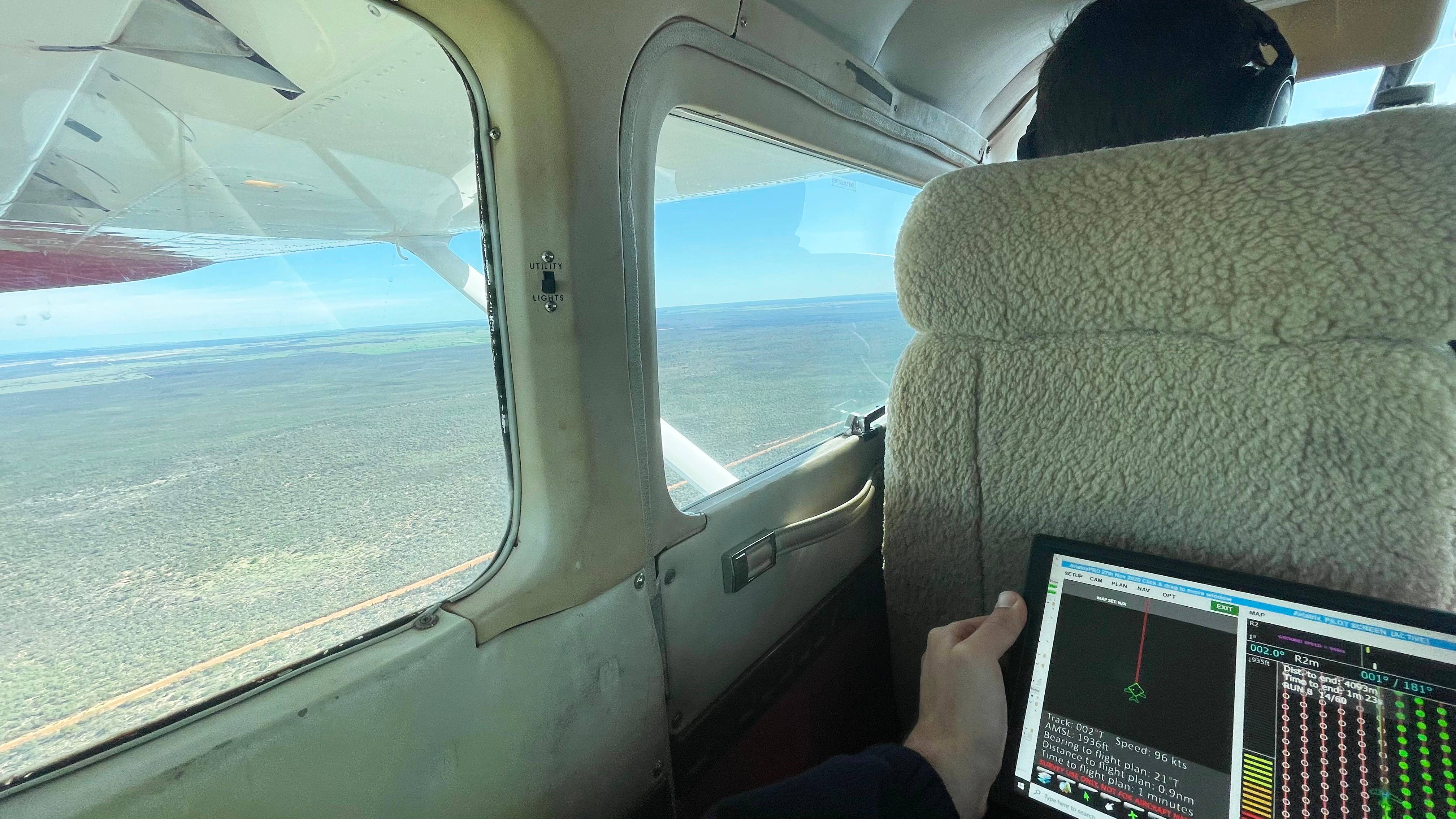
In consultation with Anditi, MNG conducted an aerial laser scanning (LiDAR) survey across six locations within the mid-west region of Western Australia. High resolution RGB imagery was also captured simultaneously with the LiDAR, to provide greater detail of the landscape.
LiDAR is an unobtrusive method for data collection, causing no environmental impact. One of the primary benefits of utilising LiDAR for this project was the ability to see through vegetation and accurately map varying ground levels and variations across each site. Given the remoteness of the area, the use of LiDAR provided an efficient and reliable method of capturing data in the most cost and time efficient manner.
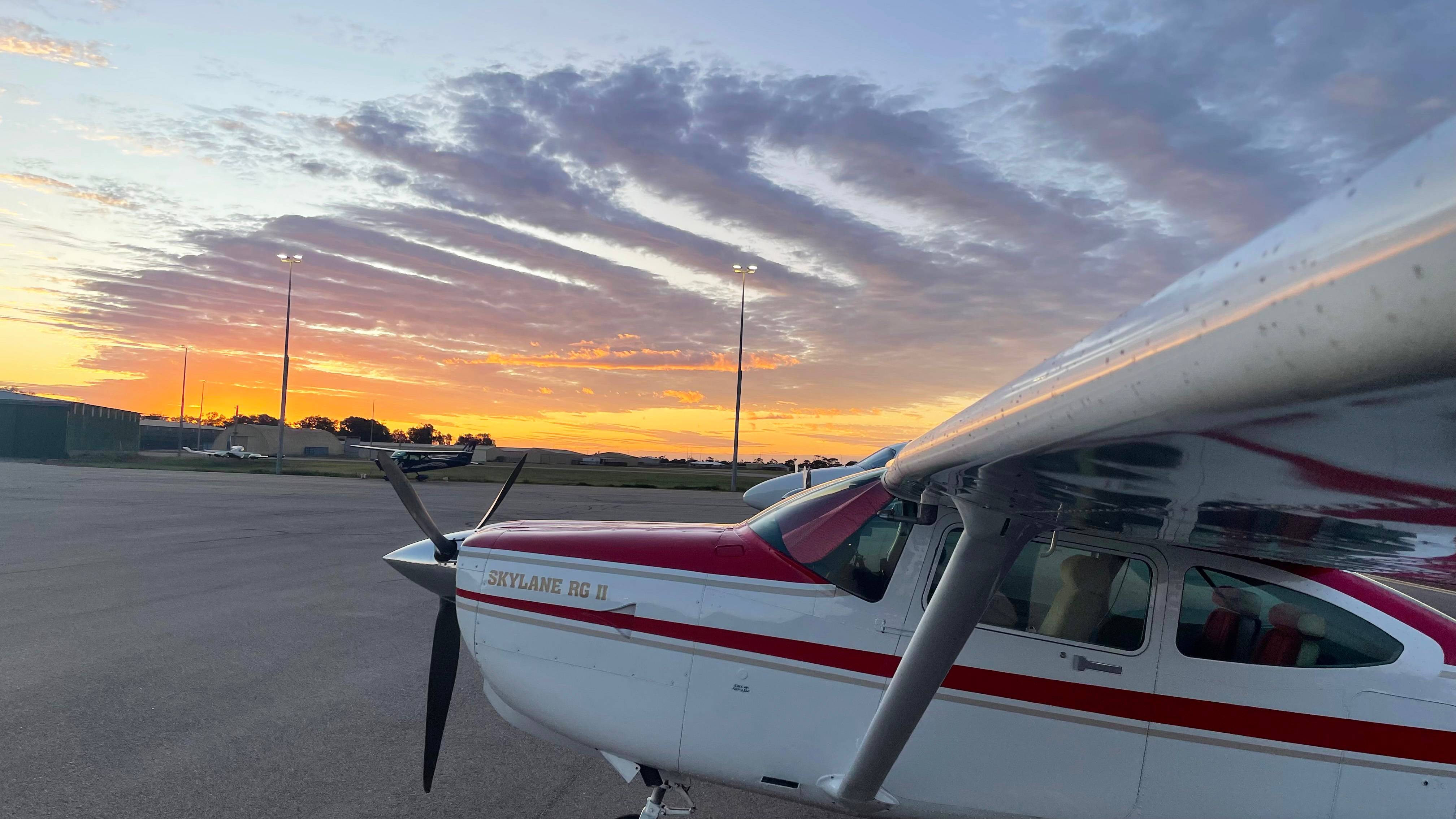
Mobilising from Jandakot Airport, MNG scanned each location using a series of flight runs of parallel alignments. Adequate preparation prior to the flight ensured the project was completed safely and efficiently.
Safety is of utmost important to both Anditi and MNG alike. Aligning with our strict codes of conduct and safety requirements, aerial systems were covered by relevant CASA certifications and aircraft pilots were in adherence to all relevant ratings.
With the remoteness of the area a factor, MNG carried a RockAIR tracking and messaging system for emergency risk management, to ensure the location of the aircraft was always traceable, providing a great deal of confidence to the team.
THE OUTCOME
Following the safe and successful completion of the aerial survey, a colourised point cloud was delivered to Anditi. This will be used to form part of their comprehensive report and used to produce a Digital Elevation Model (DEM) for their client.
Aerial photography supplied by MNG will be incorporated into the report, to further illustrate habitat and landscape context for the surrounding area. This will allow field researchers the ability to accurately pinpoint the locations of nesting mounds at ground level, to determine signs of activity and the condition of each nest.
With access to this accurate and reliable data, ecologists will have the ability to make more informed management decisions as part of the recovery plan, to ensure the continued survival of the Malleefowl.